 vesseltracker.com
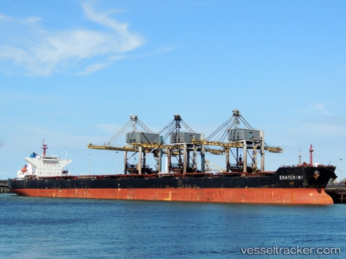
Vessel EKETERINI V IMO: 9447158, MMSI: 636021980 Bulk Carrier
UTC, 60.04113, 28.60901, course: 171, speed: 0.5
UTC, 59.94700, 28.58292, course: 189, speed: 0
2026-02-11 12:17:49 UTC, 59.92088, 28.54025, course: 225, speed: 0
Live AIS position:
UTC. Near VISTINO),
updated 2026-02-11 12:17:49 UTC.
Find the position of the vessel EKETERINI V on the map. The latter are known coordinates and path.
marine traffic ship tracker show on live map
The current position of vessel EKETERINI V is 59.92088 lat / 28.54025 lng. Updated: 2026-02-11 12:17:49 UTCCurrently sailing under the flag of Liberia
EKETERINI V built in 2012 year
Deadweight:
173555 tDetails:
Last coordinates of the vessel:
UTC, 60.04126, 28.60896, course: 173, speed: 0UTC, 60.04113, 28.60901, course: 171, speed: 0.5
UTC, 59.94700, 28.58292, course: 189, speed: 0
2026-02-11 12:17:49 UTC, 59.92088, 28.54025, course: 225, speed: 0